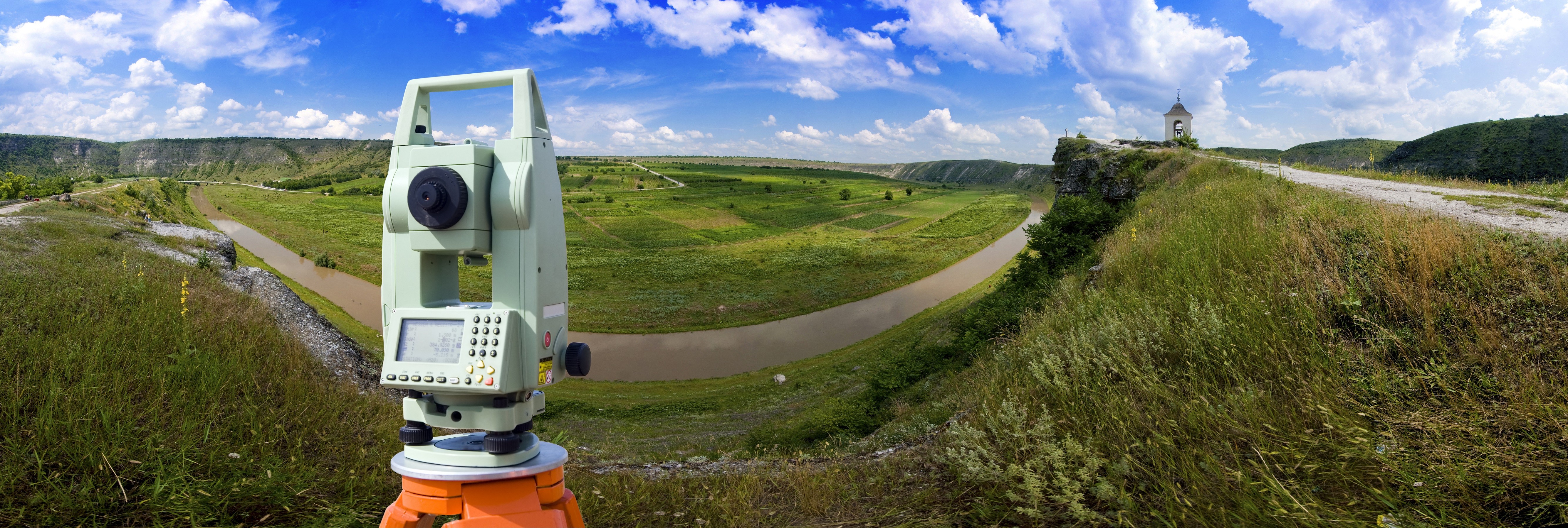
Geodesic Surveying is suitable for finding out the area of any region on the earth surface, the length and directions of the border lines, contour lines and location of basic points. GeoGlobe conducts a wide range of Geodesy and Topography surveys including but not limited to 3D Scanning, Land Measuring, Topographic mapping and Construction site surveying.
- Reconnaissance survey of the territory (water area) surveys;
- Creation ( development) of geodetic networks ( networks planned grades 3 and 4 and thickening of networks 1 and 2 bits , levelling grid II, III, IV classes) , as well as geodetic networks for the construction of special purpose ;
- The creation of planned high-altitude survey geodetic networks;
- Topographic (ground mapping, aerophototopography, stereophotogrammetry etc.) shooting in 1:10000 - 1:200, including the survey of underground and aboveground structures;
- Update topographic (engineering topographic) plans in scale of 1:10,000 - 1:200 and cadastral plans in graphic, digital , photographic and other forms;
- Engineering and hydrography;
- Surveying services associated with a shift in the binding nature and workings , geophysical and other points of engineering surveys ;
- Stationary geodetic observations of deformation of the buildings and structures - the earth's surface and the thickness of rocks in the areas of development and natural hazards Induced Processes;
- Engineering and geodetic support of geographic information systems (GIS) settlements and enterprises, government inventories (urban planning, etc.);
Create (with inventory and thematic maps and plans , atlases special The values ( in graphic, digital and other forms );
- Cameral data handling ;
- Technical Report Preparation (explanatory note).